With a team of highly skilled engineers, designers, and project managers, we specialize in providing comprehensive solutions tailored to meet the unique needs of each client.
Alakh Multiservice India Private Limited (AMIPL) specializes in overseeing the balance of demand and supply for utility services, ensuring their efficient management and maintenance. In today’s digital age,
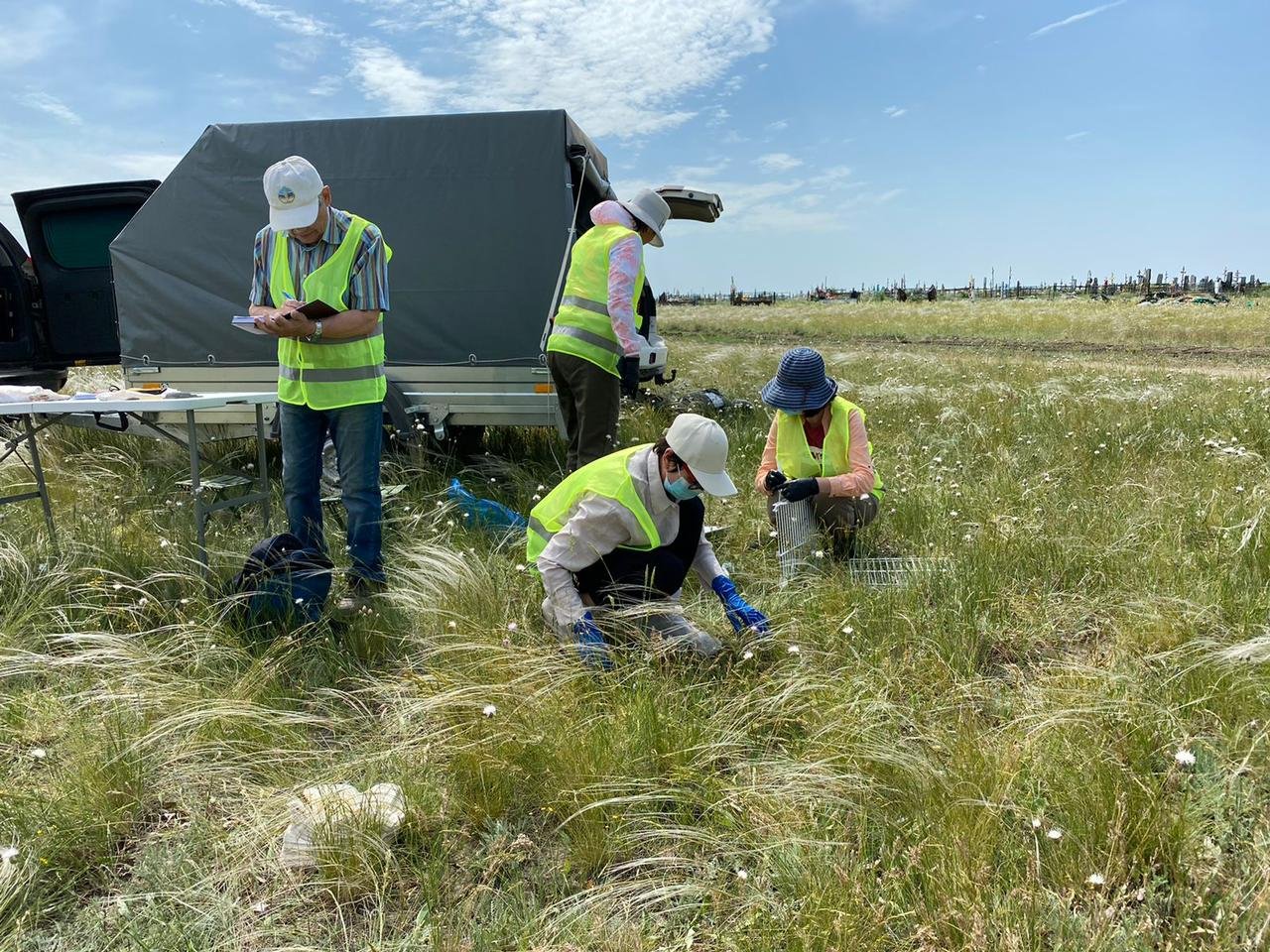
ETS/ DGPS- Our surveyors possess the expertise to conduct GPS and DGPS surveys for GIS mapping ensuring high levels of location accuracy. We conduct Ground surveys
Alakh Multiservice India Private Limited (AMIPL) has a vast expertise in conducting GPS and DGPS based asset survey and transfer into the GIS Platform. Asset surveys are conducted.
Field surveys play a pivotal role in the planning, design, and construction phases of infrastructure projects, particularly in the realm of roads, highways,
Alakh Multiservice India Private Limited (AMIPL) specializes in aerial and LiDAR data acquisition and offer comprehensive services encompassing planning, data acquisition, processing, analysis,
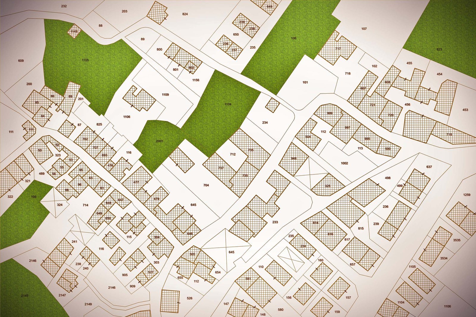
A cadastral survey is a specialized type of land survey that involves the measurement and demarcation of land parcels for the purpose of creating and maintaining a cadastre.
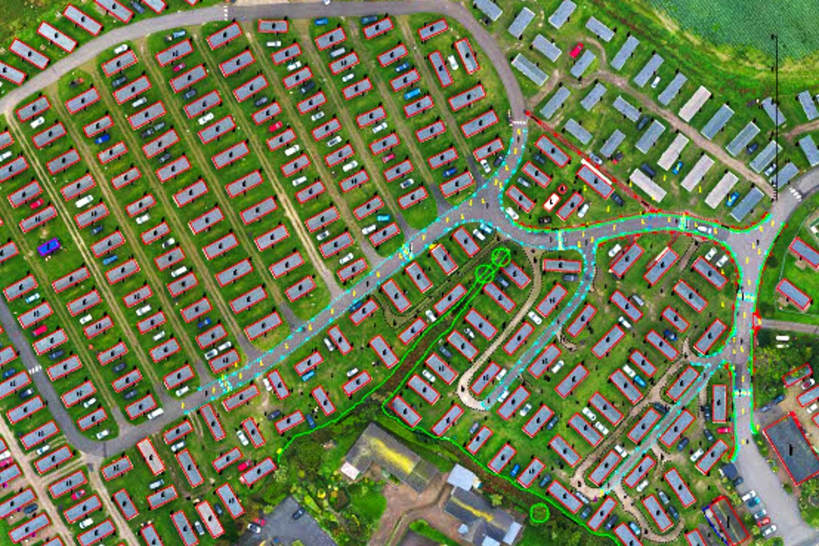
Alakh Multiservice India Private Limited (AMIPL) knows that Topographical surveying is a crucial aspect of land surveying that involves mapping and representing the natural and man-made features of a piece of land.
Alakh Multiservice India Private Limited (AMIPL) knows that Topographical surveying is a crucial aspect of land surveying that involves mapping and representing the natural and man-made features of a piece of land.
Expertise in hydrographic surveying is crucial for mapping and charting underwater features of bodies of water, such as rivers, lakes, and oceans. Hydrographic surveyors
A grid survey is a type of land surveying method that involves dividing a specific area into a grid of smaller, manageable units for the purpose of data collection and mapping.
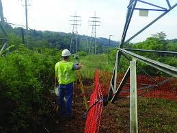
A transmission line survey involves the planning, mapping, and measurement activities necessary for the design, construction, and maintenance of electrical transmission lines.